


UPDATE OF THE HAUTES-ALPES LANDSCAPE ATLAS
The updating work involved a complete re-reading of the landscape units, whose large number of units and sub-units made them confusing to read. This re-reading, based on bibliographical knowledge and our fieldwork, is the result of a geographical, landscape and territorial logic based on the uses and practices of local residents.
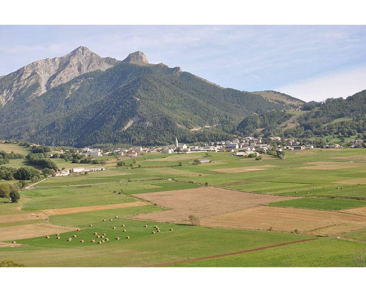
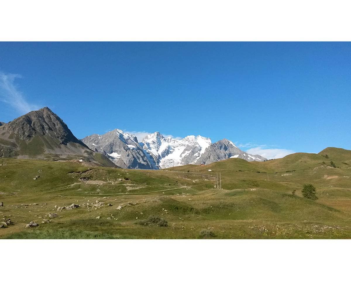
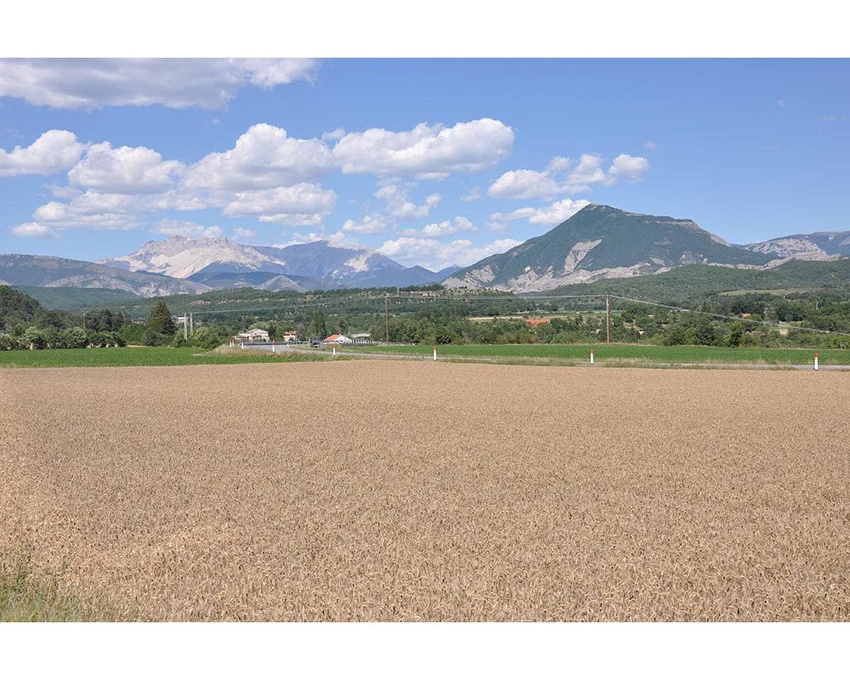
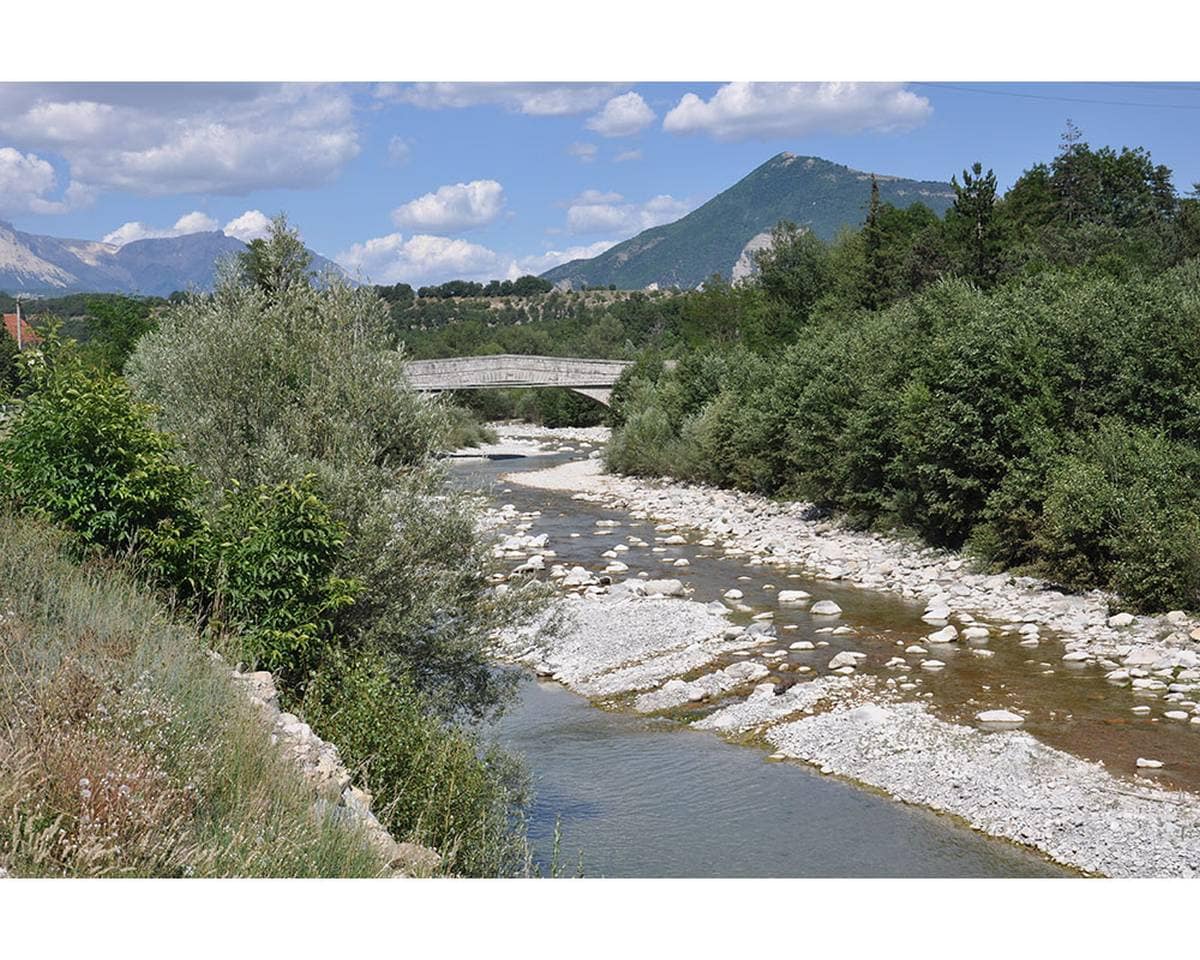
The work is organized in two books: Book 1 reveals the physical, sensitive, economic and human expression of these four massifs – the Moyennes Montagnes, the Dévoluy Depression, the Queyrassin Arc and the Crystalline Massif – and their six main rivers: the Guil, Clarée, Guisane, Drac, Durance and Buëch. Based on these two biotic and abiotic matrices, the eleven Landscape Units have been drawn up and organized through their knowledge and recognition.
Book 2 describes the physical and human characteristics of the Landscape Units, and presents the natural and man-made factors likely to affect them. It reveals the findings of past years through a diachronic analysis from 1999 to 2014, which will lay the foundations for future trends.
Available on : http://www.paysages-hautesalpes.fr
Year
2022Team
Signes_Paysages (139 Paysages) / Orgeco / VozideoMission
Updating the 1999 landscape atlasDate:
13 November 2022